Uruguay Urban Planning
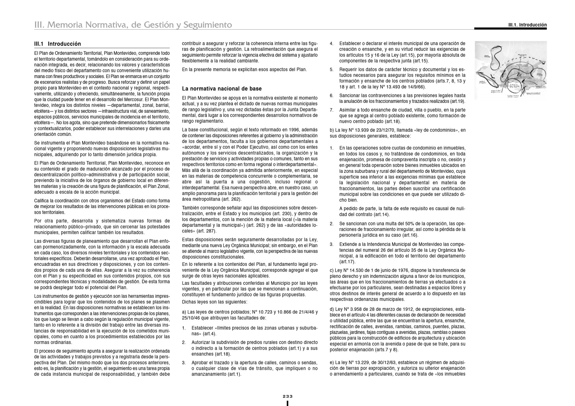
The strategic lines for the conformation of the territorial model seek to identify those possible paths to achieve the planning and development of the territory of the department of Montevideo, within the framework of the metropolitan area, the country and the region, depending on the transformations that are envisioned in the possible settings and in accordance with the objectives of the Plan. In turn, the strategic lines are grouped according to being force- ideas that support the proposal:
- The metropolitan and regional approach: the interdependence between the different scales and spaces is one of the fundamentals of the proposal. The Plan has an associated vision of city and territory, of complementarity relationship between urban and rural spaces. A new relationship between the city and its territory revaluates the departmental level and puts Montevideo on national, regional and metropolitan area.
- THE SOCIO-URBAN REBALANCING. The Montevideo Planning is a rebalancing plan, which seeks to promote infrastructures and equipment on access to urban quality of life, as an alternative model to socio-spatial segregation.
- THE SUPPORT AND TERRITORIAL BOOST FOR THE ACTIVITIES. The Montevideo Planning intends to provide territorial support for all activities, with a rational model of settlement of productive activities: The Port of Montevideo and its potential expansions; the location of Mercosur facilities, tourism development and the advanced services sector; and the department’s fruit and vegetable production, as a basic resource in the supply of fresh food.
- PRESERVATION AND URBAN-TERRITORIAL CONFIGURATION. It is a question of dealing with the deterioration, through a conception of the right to the city and the territory, as heritage to be used socially by Montevideo’s population, by present and future generations.
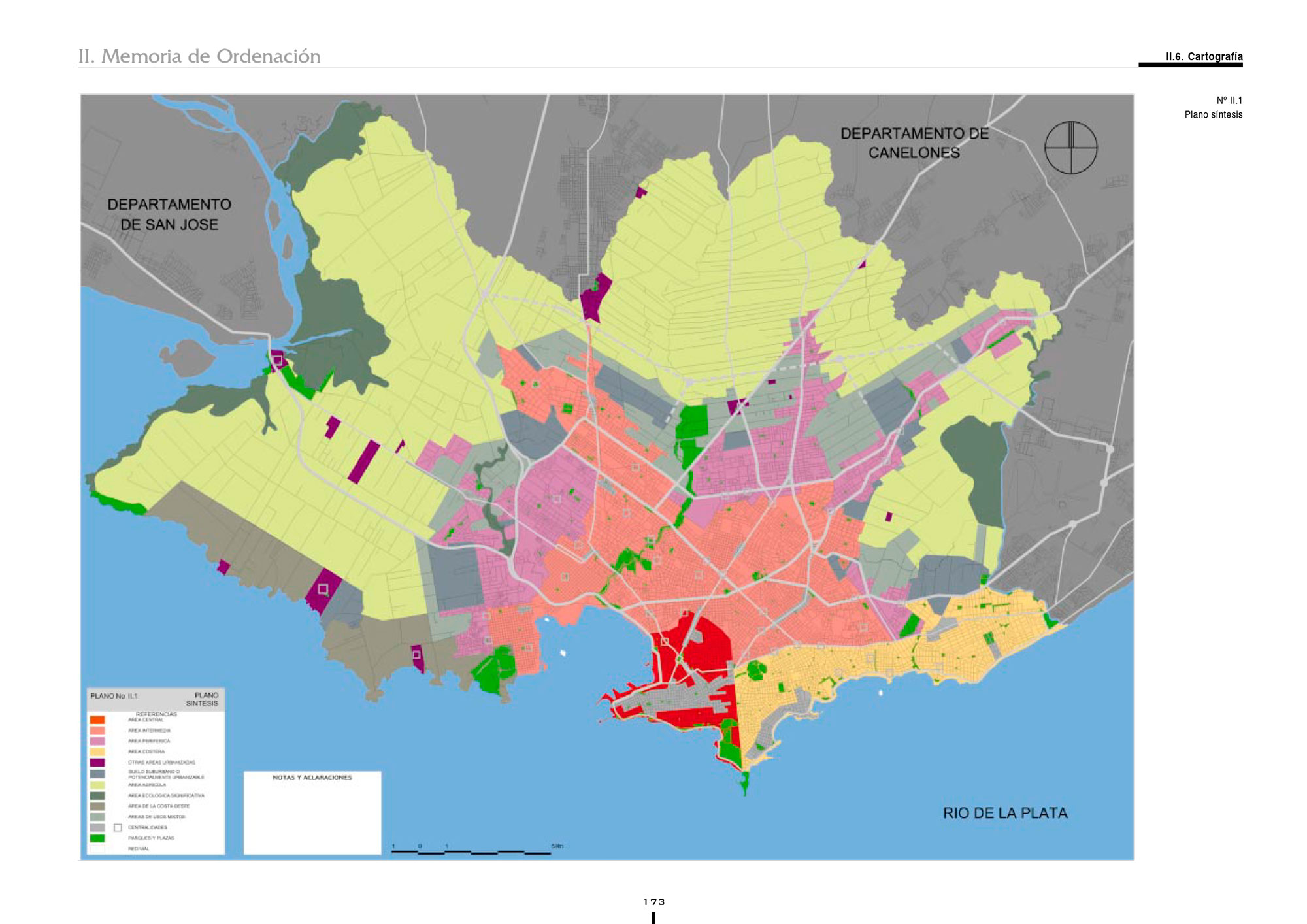
- THE PLANNING MODEL. The structure of the Plan corresponds to an interpretation of a reality embracing, on the one hand, of binding territorial structures and systems that interrelate the ensemble and, on the other hand, of land uses and location of activities well adapted to the peculiarities of each part of the territory.
- THE MANAGEMENT OF THE PLAN. The creation of new legal, administrative and technical instruments is an intrinsic part of the Plan, enabling its realisation and adapting the proposals to the changeable relationship between the Plan and the real development of the city and the territory.


